Prior to this walk I'd done a number of trips into the Mt Speculation area, but this would be my first foray to the nearby Viking. The route follows the AAWT, from east Mt Howitt to The Viking, before dropping to the Wonnangatta River via South Viking, then following Zeka Spur Track and a bush trail to the start. It can be done over 3 or 4 days. I'd planned to fit this into a 3 day weekend, including a long second day.
Day 1: Howitt Plains Car park to Mt Buggery
I pulled out of the driveway at 7:30am to start the 3 1/2 hour drive to Licola, from where it would be another hour to the start of the trail, near Macalister Springs. Or at least, that was the plan - or lack of plan, as would turn out to be the case.
The route took me through the country towns of Traralgon, Moe and Morwell.
 |
| Part of the brown coal powered electricity plant at Morwell |
 |
| Decommissioned dredger used for mining at Morwell |
 |
| Plenty of signs of the recent bush fires on the Heyfield-Jamison Road to Licola |
 |
| The obligatory stopping point for any trip into the Wonnagatta |
It was a pleasant enough drive to Licola. I stopped for a quick snack. Now I "knew" that I had to drive north from Licola to get to Macalister Springs, so I was a little dismayed to hear from the proprietor of the general store that the road north had a detour around it for several km due to fallen trees. Undeterred, I jumped into the Patrol and got underway. The detour passed through private farms and involved a bit of gate opening and closing. It took about 20 minutes to pass through and return to the main road.
 |
| At about this time I should have been reaching for a map.. |
 |
| Part of the detour out of Licola |
I was pleased to be back on the main route and drove on, eagerly anticipating arriving at Macalister Springs. Now, as anybody reading this who's been to the area well knows, Macalister Springs is NOT on the route I'd taken I eventually came to the same realisation too - but only after about 2 hours driving!!
Usually I am pretty happy with my natural tendency to "Just do it!", but this was one time where I really wished I had more of a "Read the map so you know where the hell you're going - then do it!" attitude.
So, I made my way back to Licola, then onto the correct route, past the Wellington River camping area, then heading north on the Howitt Road, eventually arriving at the trail head...about an hour out of Licola.
 |
| A quick break en route to Jamison (not Macalister Springs!) |
 |
| At the trail head...and only 4 hours wasted |
After all the f**king around I got started on the trail just after 4pm - 4 hours later than planned. It meant I would be hard pressed to get to my intended campsite, at Mt Speculation.
The route starts with a very pleasant walk through alpine meadows, ending at Vallejo Gantner Hut, built in 1972 in memorial for a 19 year old boy who was accidentally killed with his own shotgun while rabbit hunting . The hut was architect designed and is quite nice. However, it is now very much playing second fiddle to the the space age style toilet block that has been built nearby.
 |
| On the Clover Plain, heading to Macalister Springs |
 |
| Vallejo Gantner hut |
 |
| Inside view of Vallejo Gantner hut |
 |
| Is this the most impressive dunny in the Aussie bush? |
The weather was closing in as I made my way from Macalister Springs and by the time I commenced the crossing of rock and exposed Crosscut Saw, it was cold and raining hard, with a strong wind from the west.
I put on my packa - a sort of poncho that also covers the pack. It did a fair job of keeping the wind off me, but I was soon pretty wet. It was a couple of hours of misery before I stumbled up the southern slope of Mt Buggery at 8:20pm as night fell and, not for the first time at this questionably-named place, I was buggered. (in the Aussie slang sense).
 |
| Looking north to The Crosscut Saw |
I was delighted to find a fire blazing away in a simple, stone ring fireplace and a couple of guys sitting around it, enjoying the heat. Given it was now dark I had no intention of getting to Mt Speculation, so I pitched the pyramid tent, then joined the lads for dinner around the fire. One gent was a local - Luke Salewa - and the other was a friend visiting from Canada - Cameron. Both Cam & I had brought along hip flasks - for medicinal purposes, of course - and between these, the warm fire, some decent food and (probably increasingly exaggerated) yarns, it was a pleasant evening. It's also worth noting that I got good mobile phone signal.
Day 2: Mt Buggery to the Wonnangatta River
It was a pretty cold and windy night, for March. To my surprise when I woke up, it had actually snowed. I got a bit cold during the night, as I hadn't planned for it to be quite so cold so didn't have thermal pants or a down jacket. In fact, it was about 2C at 7am. Just goes to show - you have to plan for all conditions in the Aussie alps! I have found the pyramid struggles a bit in strong winds, so I had made sure the tent was pitched low and that I'd weighed down the mesh side flaps with rocks, which keep the tent pretty stable all night.
 |
| An icy tent in the morning |
 |
| Frost and snow on Mt Buggery |
 |
| A cold morning on Mt Buggery |
 |
| Morning at Mt Buggery |
 |
| The author with Cam the Canadian |
I was on the trail by around 8:30am, heading down into the Horrible Gap. I met the speedy and well-equipped "Glen", going the other direction as I approached Mt Speculation, where I arrived at 9:30am.
I stopped on Mt Spec to enjoy the views, which are spectacular, then continued east, along a faint and increasingly steep trail, down to Speculation Track. A few minutes later, at around 11am, I had arrived at Catherine Saddle. It's a nice, flat and open spot, great for camping. I stopped there for lunch (salami, cheese and a bread roll), then headed off at 11:45am.
 |
| Looking north from Mt Buggery |
 |
| Climbing towards Mt Speculation from the Horrible Gap |
 |
| A rocky scramble on Mt Spec |
 |
| Looking back on the route from Mt Speculation |
 |
| View east. Mt Speculation summit at left |
 |
| The Mt Spec tree and me |
 |
| South from Mt Speculation |
 |
| View east from Mt Speculation, towards The Viking (right) and The Razor (left) |
 |
| Scrub at the bottom of the descent from Mt Speculation |
 |
| Speculation 'Road' |
 |
| Catherine Saddle - A pleasant place for a break |
The trail for the half hour walk from Catherine Saddle to Mt Despair follows a gentle incline, is well marked and well-maintained, making for pleasant walking. Beyond that point the trail was easy enough to follow, though it became more variable, with a mix of walking and scrambling.
Mostly though, I found it tedious. I suspect the problem was with me, not the trail. I think I was getting concerned about the distance I had to cover that day and was more focused on the destination that the trail. It came back to the late start the day before, which meant I didn't get to Mt Spec on the first night as planned and had to add an extra hour into an already long day.
 |
| Trail recommencement south from Catherine Saddle |
 |
| Trail leading out of Catherine Saddle |
 |
| Trail near Mt Despair |
 |
| View south near Mt Despair |
 |
| Between Catherine Saddle and The Razor |
 |
| Between Catherine Saddle and The Razor |
 |
| Pretty bush between Catherine Saddle and The Razor |
 |
| Gnarly peaks between Catherine Saddle and The Razor |
 |
| Interesting path between Catherine Saddle and The Razor |
 |
| Between Catherine Saddle and The Razor |
 |
| Rock scramble between Catherine Saddle and The Razor |
 |
| Approaching the turn off to The Razor |
About 3.5km from Catherine Saddle the trail comes to a junction between routes to The Razor and The Viking. I followed the branch to the SE, towards The Viking, about 2.5km further, stopping briefly at Viking Saddle.
From there it was a stiff climb to the base of the bluffs that guard the top of The Viking. They are quite impressive and not a little daunting and as I climbed the trail I wondered how I was expected to get past them. The 'how' soon became obvious when a gap opened up through the bluffs. Relieved, I scampered up, only to find my way blocked by an imposing rock wall. There was a shallow cave in the base of the wall and on entering it I found a man-sized hole leading up through the rock. There was also a long strap on the floor on the cave. I took off my pack and tied the (very conveniently provided) strap to my pack and to my belt. I scrambled up through to the top of the hole, then hauled the pack up behind me. Just had one annoying snag in the process. I untied strap and dropped it back down the hole, then headed on up to the top of the Viking, arriving at 4:45pm.
 |
The cairn marking the track junction between paths to Catherine Saddle, The Razor and The Viking.
View is westward, back along the trail I'd just followed. |
 |
| View to The Viking |
 |
| A great campsite at Viking Saddle, at the base of The Viking |
 |
| Approach to The Viking |
 |
| The daunting bluffs of The Viking |
 |
| Approaching The Viking bluffs |
 |
| Loose under foot on the climb to The Viking |
 |
| The path through the bluffs |
 |
| A hole in the rocks and a helpful length of strap |
 |
| Hauling my pack up through the hole |
 |
| A fantastic view west from The Viking |
 |
| Looking SW from The Viking |
Beautiful clear skies made for great views from the Viking. I would have liked to have lingered there a while, but I knew I had a fair way to go yet to make the intended campsite on the Wonnangatta River.
I headed off from The Viking, following a mixed route path that included rocky, ridge walking and scrambling across angular rocky plates. Well placed cairns guided me along and I arrived at Little Viking at 5:30pm.
From here I descended a long, scrubby spur to the river. The route was quite overgrown in places and I had trouble with route finding in places. This became increasingly difficult as the twilight brought increasing limited vision and the scrub seemed to grow more dense. At around 8:15, when it became totally dark, I was a few hundred metres above the river. I could even hear it. However, the bush at this point was both thick and high (about 3-5 metres), making it really hard to navigate. I put on my headtorch, then finding the beam too weak, took it off again to change the batteries. I then crashed, bashed this way and that way to eventually find myself within 10 metres of the Wonnangatta. The only problem now was a dense row of blackberry bushes between me and the river! I went up and down the river to find a way through and, finding no easy path, used my walking stick to bash a way to the river. It was 9pm when I finally make it!
I was also very thirsty as I had run out of water a few hours back on the spur. Putting aside all caution I downed about 1/2 litre of the river water without bothering to treat it.
I could't find the campsite supposedly in this area so instead found a tiny flat area in the bush close to the river and, with a bit of "gardening", was able to make decent clearing for my tent.
I didn't have much appetite for dinner and achy bones and muscles made it hard to sleep. Not my happiest hiking moment!
 |
| Cairn on the trail towards South Viking |
Day 3: Wonnangatta river to Howitt Plains Car park
I still had little appetite in the morning and couldn't stomach the muesli I'd brought for breakfast. I settled for a muesli bar before breaking camp and heading up towards the nearby Zeka Spur Track.
 |
| A squeezy campsite near the Wonnangatta River |

 |
| Wonnangatta River, near Zeka Spur |
 |
| Part of the blackberry wall that guards the banks of the Wonnagatta River |
 |
| Trail south from the Wonnangatta |
 |
| Campsite near the Zeka Spur Track |
 |
| Add caption |
 |
| The author near Zeka Spur Track |
Now there are many things to like about this circuit walk and the Zeka Spur Track is NOT one of them. It's a dusty, steep track with limited views that feels something like a 2 hour session on a StairMaster, with the added fun of dust and heat. It drove me crazy and I started having vivid fantasies about Coke and ice cream.
Note: There is an alternative, though less-used route that as I understand it involves following the Wonnangatta for 1.5km to the west, then walking up a steepish spur to the SW to join Zeka Spur. I was uncertain of the route or its condition so went with the safer, if decidedly mundane Zeka Spur Track.
A bush trail commences about 7-8km along Zeka Spur Track. I happily joined this and found it for the most part much more pleasant. There were a lot of fallen trees to pass and the trail wasn't always very easy to follow, but it was nevertheless an interesting and challenging change to ZST.
 |
| Zeka Spur Track - like spending 2 hours on a hot, dusty Stairmaster |
 |
| The bush trail off Zeka Spur Track |
 |
| Bush trail |
 |
| There were a LOT of trees across the trail |
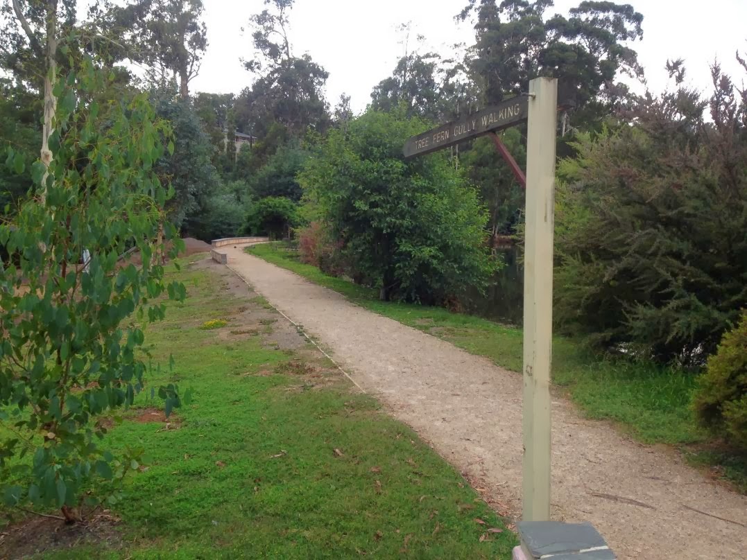
Eventually I arrived at Clover Plain and the trail that links Macalister Springs and the carpark near View Point. I found some extra reserves and walked quickly back over the 3km back to the car.
This story should end here, but there's still two more bits of fun to relate. The first item was that my car wouldn't start. The engine was turning over but it was making some very ordinary sounds. This went on for several minutes. I started feeling VERY TENSE. A large group of 4WD, arrived and I considered that at least I could get a lift out of there. However, as I sat there with my blood pressure rising I gave the ignition one..last..try - and the bloody thing started!
Very relieved I headed off down the gravel road. I was clearly driving a bit too eagerly as I came to a particularly tight couple of curves, the Patrol started fish-tailing all over the road. I managed to get control back after a few seconds, but not before crapping myself (figuratively speaking). Suitably chastened, I drove - more slowly - back to Licola, then out.
 |
| Northern end of Clover Plain |
 |
| A welcome site - the dunny that signified the end of the trail! |
The key facts:
Walking time - 21 hours
- Day 1 - 4 hours
- Day 2 - 12.5 hours
- Day 3 - 4.5 hours
Water - I started with 3.5 lt. In my haste I decided to ignore possible refill spots at Mt Spec and Viking Saddle. I ran out on the spur down to the Wonnangatta River, with about 4 hours walking before I could refill at the river. Carrying an extra litre from the start would have been better.
Navigation
Maps - Vicmap 1:50,000 series 8223-N Selwyn
GPS - iPhone 4S with Mud-maps app, incl 1:25k maps 8223-4N, 8223-4S